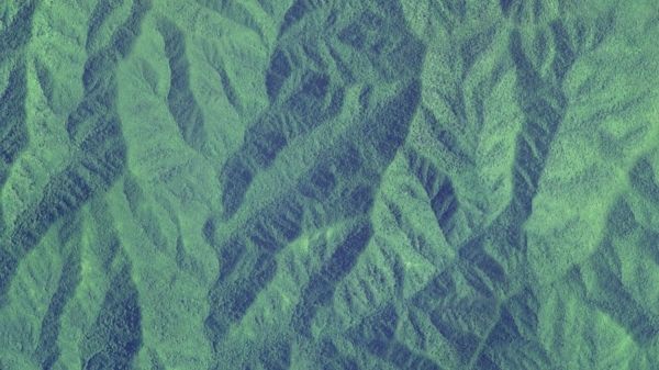
Using data gathered by satellite, North Carolina State University researchers found that higher elevation forests in the Blue Ridge Mountains are often maintaining, and sometimes even increasing, their water use during extreme droughts.
Published in the journal Landscape Ecology, the findings suggest upstream forests’ increased water consumption could leave less water downstream for forests, cities and wildlife during drought.
“We’re expecting that droughts will become more severe and frequent, so it’s important to understand how that’s going to influence the amount of water we have available,” said the study’s lead author Katie McQuillan, a graduate student in the Center for Geospatial Analytics at NC State. “We found that these forests are using more water on average during droughts, and that leads to less water ending up downstream.”
In the study, researchers analyzed how trees use water and release it as vapor based on thermal infrared remote sensing data gathered by satellites between 1984 and 2020. They used that data to understand trends in forest water use for more than 15,000 square miles of forest in the Blue Ridge Mountains across Virginia, North Carolina, Tennessee, South Carolina and Georgia.
Continue reading at North Carolina State University
Image via North Carolina State University


