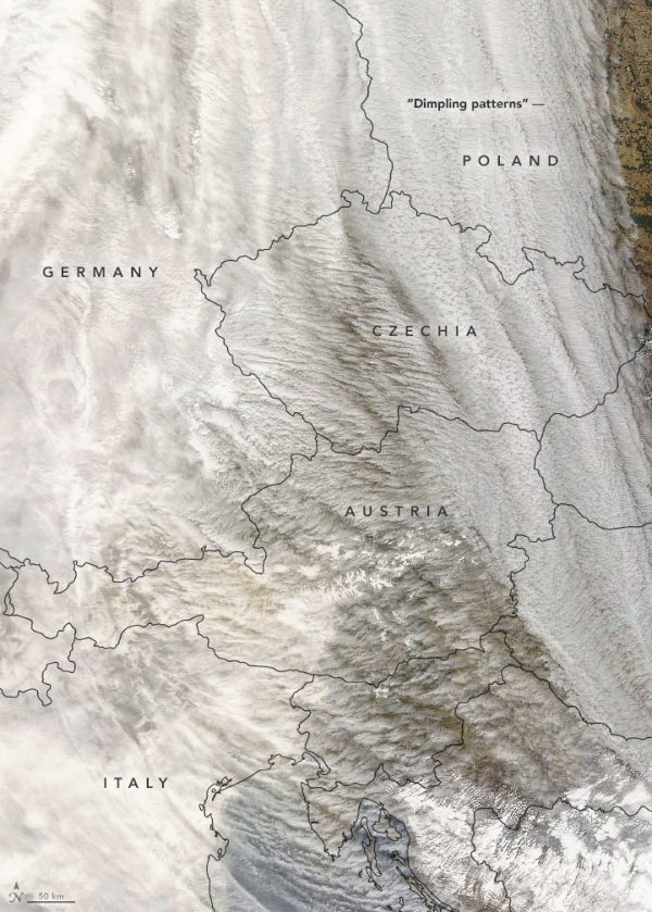
In March 2022, several large storms carried clouds of Saharan dust to Europe. One of them also brought long-lasting, high-altitude cirrus clouds infused with dust, which led to extensive cloud cover—from Iberia to the Arctic—for more than a week. It was an unusual type of storm that scientists have only recently come to understand. Called a dust-infused baroclinic storm (DIBS), its hallmarks are icy clouds permeated with dust.
In mid-March, an atmospheric river of Saharan dust was entrained by a DIBS and lifted into the troposphere, reaching altitudes up to 10 kilometers (6 miles). The dust acted as nucleation particles for ice, leading to the formation of icy high-altitude, dust-infused cirrus clouds. They persisted for nearly a week and covered large parts of Europe and Asia.
“Actually, two DIBS were formed,” said Mike Fromm, a meteorologist at the U.S. Naval Research Laboratory. “The fact that the dust river fed two separate DIBS makes this notable” as it is more common to see a single storm arise from an influx of dust.
Continue reading at NASA Earth Observatory
Image via NASA Earth Observatory


