Flood frequency analysis is a technique used to estimate flood risk, providing statistics such as the “100-year flood” or “500-year flood” that are critical to infrastructure design, dam safety analysis, and flood mapping in flood-prone areas. But the method used to calculate these flood frequencies is due for an update, according to a new study by scientists from DRI, University of Wisconsin-Madison, and Colorado State University.
Floods, even in a single watershed, are known to be caused by a variety of sources, including rainfall, snowmelt, or “rain-on-snow” events in which rain falls on existing snowpack. However, flood frequencies have traditionally been estimated under the assumption these flood “drivers,” or root causes, are unimportant.
In a new open-access paper in Geophysical Research Letters, a team led by Guo Yu, Ph.D., of DRI examined the most common drivers (rainfall, snowmelt, and rain-on-snow events) of historic floods for 308 watersheds in the Western U.S., and investigated the impact of different flood types on the resulting flood frequencies.
Read more at: Desert Research Institute
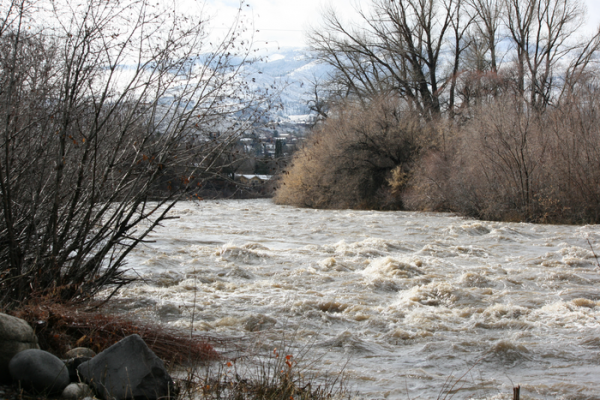
The Truckee River in Reno, Nev. during high flow conditions after a storm in late January, 2016. (Photo Credit: Kelsey Fitzgerald/DRI)


