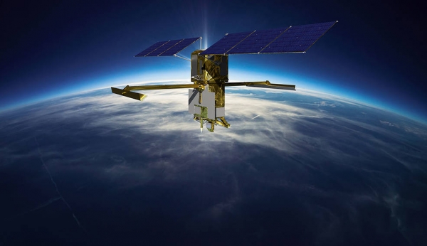
The international Surface Water and Ocean Topography mission will provide high-definition data on the salt- and fresh water on Earth’s surface.
On Dec. 12, NASA will launch the Surface Water and Ocean Topography (SWOT) satellite into Earth orbit from Vandenberg Space Force Base in California atop a Falcon 9 rocket. The mission is a collaborative effort between NASA and the French space agency Centre National d’Études Spatiales (CNES) – with contributions from the Canadian Space Agency (CSA) and the UK Space Agency – that will survey water on more than 90% of the planet’s surface.
The satellite will measure the height of water in Earth’s freshwater bodies and the ocean, providing insights into how the ocean influences climate change; how a warming world affects lakes, rivers, and reservoirs; and how communities can better prepare for disasters, like floods.
Read more at NASA
Image: This illustration shows the Surface Water and Ocean Topography (SWOT) satellite in orbit with its solar panels and KaRIn instrument antennas deployed. (Credits: CNES)


