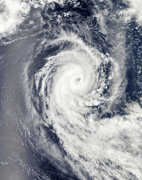
Combining satellite technology with machine learning may allow scientists to better track and prepare for climate-induced natural hazards, according to research presented last month at the annual meeting of the American Geophysical Union.
Over the last few decades, rising global temperatures have caused many natural phenomena like hurricanes, snowstorms, floods and wildfires to grow in intensity and frequency.
While humans can’t prevent these disasters from occurring, the rapidly increasing number of satellites that orbit the Earth from space offers a greater opportunity to monitor their evolution, said C.K Shum, co-author of the study and a professor at the Byrd Polar Research Center and in earth sciences at The Ohio State University. He said that potentially allowing people in the area to make informed decisions could improve the effectiveness of local disaster response and management.
Read more at: Ohio State University
Photo Credit: WikiImages via Pixabay