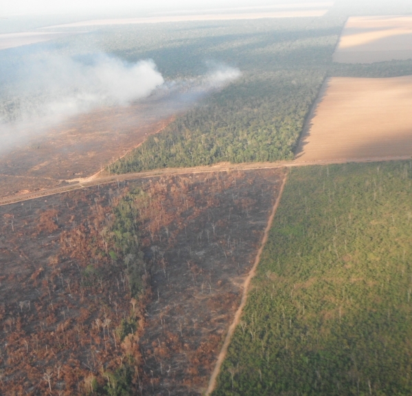
A collaboration led by an Oregon State University College of Forestry researcher has used very-high-resolution satellite imagery to develop a machine learning model that aims to improve climate scientists’ ability to estimate aboveground carbon stocks in the Amazon.
Findings of the study, funded by NASA, were published in the journal Carbon Balance and Management.
Covering more than 2.5 million square miles in South America, the Amazon is the largest of the world’s tropical forests, which play huge ecological roles for the planet despite covering less than 10% of the Earth’s land area.
Read more at: Oregon State University
Burned and fragment forest in Amazon (Photo Credit: Oregon State University)


