An international team of researchers, led by Dr Christine Batchelor of Newcastle University, UK, used high-resolution imagery of the seafloor to reveal just how quickly a former ice sheet that extended from Norway retreated at the end of the last Ice Age, about 20,000 years ago.
The team, which also included researchers from the universities of Cambridge and Loughborough in the UK and the Geological Survey of Norway, mapped more than 7,600 small-scale landforms called ‘corrugation ridges’ across the seafloor. The ridges are less than 2.5 m high and are spaced between about 25 and 300 metres apart.
These landforms are understood to have formed when the ice sheet’s retreating margin moved up and down with the tides, pushing seafloor sediments into a ridge every low tide. Given that two ridges would have been produced each day (under two tidal cycles per day), the researchers were able to calculate how quickly the ice sheet retreated.
Read more at: Newcastle University
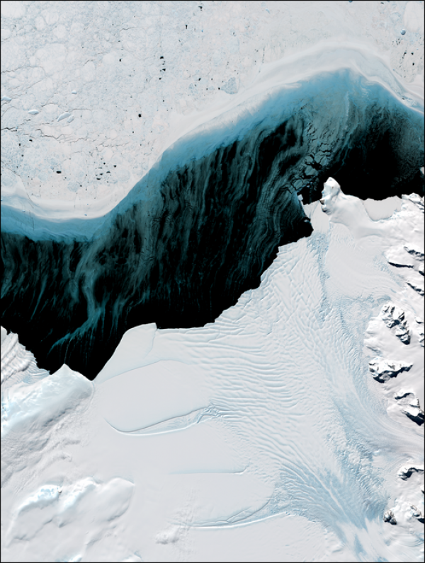
Landsat 8 image depicting the highly dynamic SCAR Inlet Ice Shelf, Antarctic Peninsula, and sea ice production offshore. ©NASA/USGS, processed by Dr. Frazer Christie, Scott Polar Research Institute, University of Cambridge (Photo Credit: ©NASA/USGS, processed by Dr. Frazer Christie, Scott Polar Research Institute, University of Cambridge)


