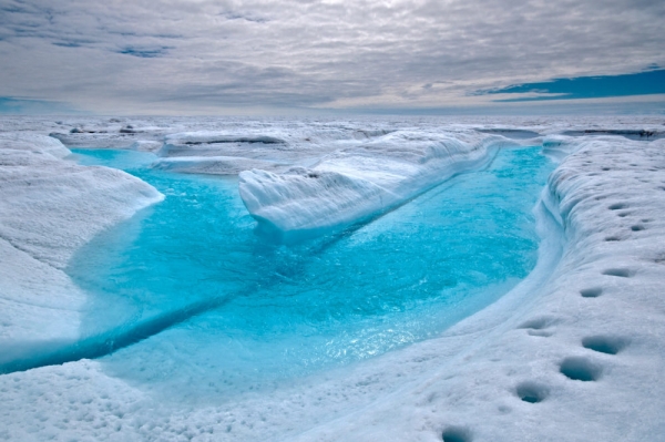
Over the last three decades, ice lost from Greenland and Antarctica could comprise an ice cube roughly 12 miles high, new research finds.
For the study, scientists analyzed satellite surveys tracking the mass and volume of the polar ice sheets, finding that ice cover dropped every year from 1992 to 2020. The study found that the seven worst years for melting have all come in the last decade.
“Ice losses from Greenland and Antarctica have rapidly increased over the satellite record and are now a major contributor to sea level rise,” Inès Otosaka of the University of Leeds, lead author of the study, said in a statement.
Read more at Yale Environment 360
Image: A stream of meltwater in Greenland. (Credit: IAN JOUGHIN VIA EUROPEAN GEOSCIENCES UNION via Yale Environment 360)


