A report comes in: Smoke is rising from a remote area of the Amazon. A government official pulls up satellite images to get a closer look. Was the fire sparked by lightning or set by loggers? Satellite data for the area near the fire reveals a road snaking through the forest — a road that didn’t exist a month earlier. The official sends a ground team to check for illegal logging.
Scenarios like that illustrate how satellite imagery could be a game changer in the global fight against deforestation, especially now that geospatial data is widely available, with remote sensors on planes, drones and a growing fleet of satellites. Such sensors, which once were the size of a minivan, are now the size of a car battery.
Scientists say mapping data can be used to help preserve forests. And because forests sequester tons of planet-warming carbon dioxide, forest preservation helps combat climate change. But the technology doesn’t always make it into the hands of the government officials whose job it is to fight deforestation.
Read More: University of California - Los Angeles
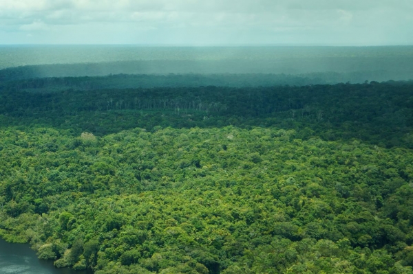
An aerial view of the rainforest in Amazonas, Brazil. The expanded availability of remote sensing technology on planes, drones and satellites could go a long way toward fighting deforestation. (Photo Credit: Daniel Melling)