A lot of hard work goes into ensuring a spacecraft like the Surface Water and Ocean Topography satellite delivers accurate data.
In mid-June, a team of freshwater researchers spent their nights drifting down Alaska’s Yukon River in an area that straddles the Arctic Circle. The hydrologists were using a GPS unit installed on their boat to measure the slope of the river at the same time that the Surface Water and Ocean Topography (SWOT) satellite passed overhead, collecting its own data on the waterway. The midnight rendezvous were part of a larger effort by ocean and freshwater scientists to validate the measurements from the recently launched spacecraft, which begins science operations Tuesday, July 25.
A collaboration between NASA and the French space agency, CNES (Centre National d’Études Spatiales), SWOT is measuring the height of nearly all water on Earth’s surface and will provide one of the most detailed, comprehensive views yet of the planet’s ocean and fresh water. The mission will address some of the most pressing climate change questions of our time, offering insights into areas including how a warming world is accelerating Earth’s water cycle, leading to more volatile precipitation patterns. SWOT will also help researchers better understand how climate change affects water storage in lakes, rivers, and reservoirs, and how communities can better manage water resources and prepare for floods and other disasters.
Read more at NASA
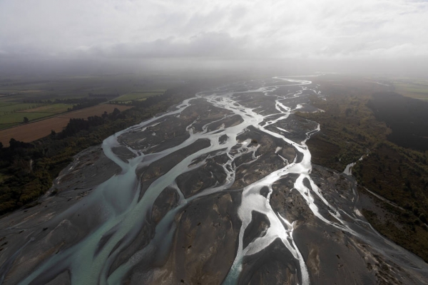
Image: Freshwater bodies like this braided river in New Zealand are among those that researchers measured with water-level sensors and GPS during validation efforts for the international SWOT satellite, which launched in December. (Credits: Alyssa LaFaro, UNC Research via NASA)