As the U.S. Coast Guard (USCG) icebreaker Healy takes part in a voyage across the North Pole this summer, it is capturing images of the Arctic to further the study of this rapidly changing region. Lincoln Laboratory researchers installed a camera system aboard the Healy while at port in Seattle before it embarked on a three-month science mission on July 11. The resulting dataset, which will be one of the first of its kind, will be used to develop artificial intelligence tools that can analyze Arctic imagery.
"This dataset not only can help mariners navigate more safely and operate more efficiently, but also help protect our nation by providing critical maritime domain awareness and an improved understanding of how AI analysis can be brought to bear in this challenging and unique environment," says Jo Kurucar, a researcher in Lincoln Laboratory's AI Software Architectures and Algorithms Group, which led this project.
As the planet warms and sea ice melts, Arctic passages are opening up to more traffic, both to military vessels and ships conducting illegal fishing. These movements may pose national security challenges to the United States. The opening Arctic also leaves questions about how its climate, wildlife, and geography are changing.
Read more at Massachusetts Institute of Technology
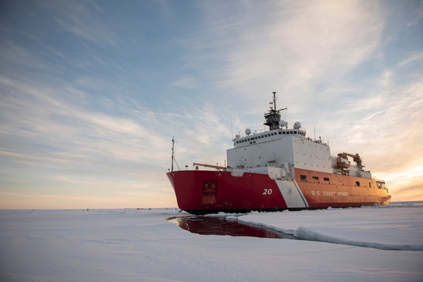
Photo: The U.S. Coast Guard icebreaker Healy has set off on a three-month science mission in the Arctic. As part of this mission, a new infrared imaging system will collect a first-of-its-kind dataset for training artificial-intelligence analysis tools. Here, the Healy is pictured during a science mission in 2018.
Credits:Photo: NyxoLyno Cangemi/U.S. Coast Guard