In the “weather kitchen,” the interplay between the Azores High and Icelandic Low has a substantial effect on how much warm water the Atlantic transports to the Arctic along the Norwegian coast. But this rhythm can be thrown off for years at a time. Experts from the Alfred Wegener Institute, Helmholtz Centre for Polar and Marine Research finally have an explanation for why: Due to unusual atmospheric pressure conditions over the North Atlantic, low-pressure areas are diverted from their usual track, which disrupts the coupling between the Azores High, the Icelandic Low and the winds off the Norwegian coast. This finding is an important step toward refining climate models and more accurately predicting the fate of Arctic sea ice in the face of progressing climate change.
In winter, the Norwegian coast is normally home to harsh conditions: The wind blows out of the southwest for days or even weeks at a time. Low-pressure areas make their way along the coast and not only bring rain and snow with them; the winds they produce determine how much warm water the Atlantic transports from southerly latitudes to the Barents Sea and the Arctic. Yet this flow of warm water can vary. Climate researchers want to take a closer look at these fluctuations so that their computer models can better predict how Arctic sea-ice extent will change over the next several decades. The problem: We still don’t completely understand the cause of these fluctuations in the complex air and ocean currents off the coast of Norway and in the Barents Sea. But doing so is essential to further improving climate models.
Read more at Alfred Wegener Institute, Helmholtz Centre for Polar and Marine Research
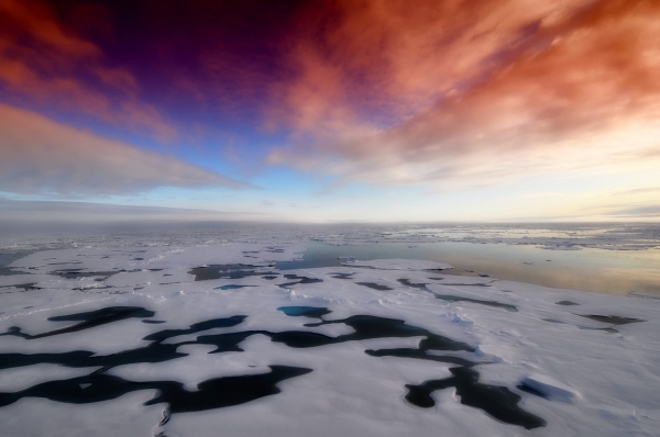
Image: Sea ice off Svalbard (Photo Credit: Finn Heukamp)


