Nearly 75 percent of the U.S. could experience damaging earthquake shaking, according to a recent U.S. Geological Survey-led team of 50+ scientists and engineers.
This was one of several key findings from the latest USGS National Seismic Hazard Model (NSHM). The model was used to create a color-coded map that pinpoints where damaging earthquakes are most likely to occur based on insights from seismic studies, historical geologic data, and the latest data-collection technologies.
The congressionally requested NSHM update was created as an essential tool to help engineers and others mitigate how earthquakes affect the most vulnerable communities by showing likely earthquake locations and how much shaking they might produce. New tools and technology identified nearly 500 additional faults that could produce a damaging quake, showcasing the evolving landscape of earthquake research.
“This was a massive, multi-year collaborative effort between federal, state and local governments and the private sector,” said Mark Petersen, USGS geophysicist and lead author of the study. “The new seismic hazard model represents a touchstone achievement for enhancing public safety.”
Read more at U.S. Geological Survey
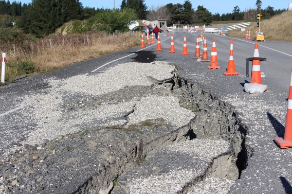
Photo Credit: Kiwi_Lisa via Pixabay