Big storms are getting bigger. Typhoon Jebi became the strongest tropical cyclone to hit Japan in 25 years and killed at least 10 people this past summer. Hurricane Florence awed even veteran meteorologists with its powerful combination of high winds and extreme moisture when it made landfall in North Carolina on Sept. 14.
Now, some MIT researchers say that the best way to study and understand these monster storms is to make the satellites that track them smaller.
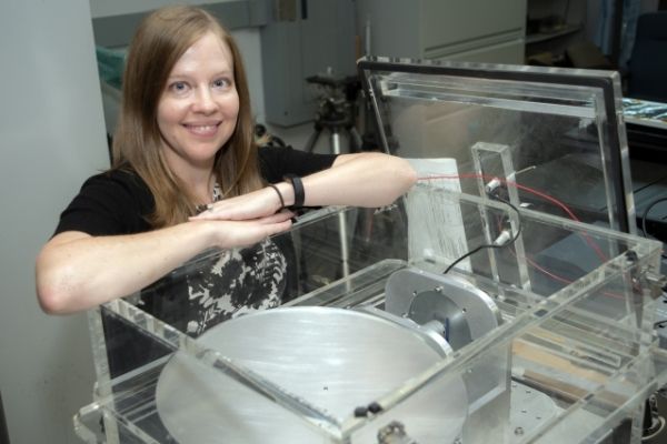
A group of researchers from MIT’s Department of Aeronautics and Astronautics, led by PhD candidate Angela "Angie" Crews and Associate Professor Kerri Cahoy, in collaboration with Vince Leslie and William Blackwell at MIT Lincoln Laboratory, have published a new study comparing weather data collected by a CubeSat — a low-cost satellite about the size of a shoebox — with data from a traditional weather satellite.
“The bottom line is that this tiny satellite collected data that is as good as the data from a billion-dollar government satellite,” says Crews, the lead author of the paper, “Calibration and Validation of Small Satellite Passive Microwave Radiometers: MicroMAS-2A and TROPICS.” The research was presented at a conference of SPIE, the international society for optics and photonics.
Continue reading at Massachusetts Institute of Technology
Image via Jay Friedlander, NASA


