It’s hard to find a place in the U.S. that isn’t impacted by wildfires and smoke.
Dry landscapes, warmer temperatures and more development near forested areas all contribute to massive wildfires across North America each year. Smoke and haze from these fires can travel hundreds of miles from their source, affecting the health and wellbeing of communities across the U.S.
Given these impacts, scientists rely on models that try to predict the severity of wildfires and smoke. The amount of living and dead vegetation on a landscape, known as fuels, is a key part of the equation when modeling wildfire and smoke behavior. But in many areas, fuel estimates are imprecise, leading to unreliable smoke and fire forecasts — potentially endangering communities.
Researchers from the University of Washington and Michigan Technological University have created the first comprehensive database of all the wildfire fuels that have been measured across North America. Called the North American Wildland Fuel Database, the tool incorporates the best available measurements of vegetation in specific locations, and allows fire managers to see where information about fuels is missing altogether.
Read more at University of Washington
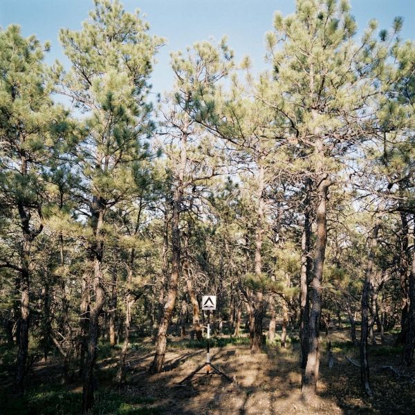
Image: A representative photo of one of the six forest types highlighted in this study: A ponderosa pine forest, which is widespread in semi-arid landscapes in western North America. (Credit: University of Washington)