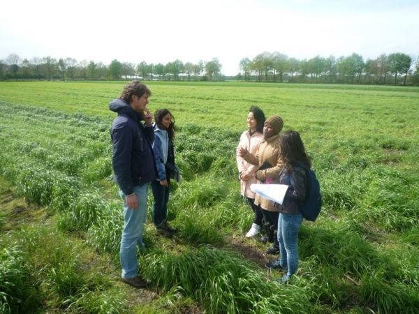
The study focuses on analysing satellite images from 2017 and 2018 and the results have now been published in the International Journal of Applied Earth Observation and Geoinformation.
Planting a cover crop between the main growing seasons is a measure that offers multiple potential benefits for sustainable food production. These crops play a major role in preventing the nitrates introduced by fertilisation from leaching into the groundwater. To comply with current regulations, Dutch farmers are required to sow a cover crop after cultivating maize by 1 October at the latest.
Imagery from Sentinel-2 satellites made it possible to estimate the sowing dates for individual fields. “Fields covered in vegetation reflect high levels of near-infrared light and low levels of light from the visible spectrum. Plotting this reflection over time allows us to track changes and estimate sowing dates. A newly sown field without plants reflects relatively little infrared light,” ITC researcher Dr Anton Vrieling explains.
Continue reading at University of Twente
Image via University of Twente


