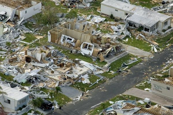
Several coastal communities are picking up the pieces after being ravaged by hurricanes in the past month. Hurricane Laura, a category 4, and Hurricane Sally, a category 2, seemed to meander their way across the Gulf of Mexico constantly shifting forecasts and keeping meteorologists on their toes. In the hours before these storms struck land, they seemed to explode in intensity.
Researchers at the Dauphin Island Sea Lab with support from the Jet Propulsion Laboratory can offer insight into why these storms intensified quickly as they moved across the continental shelf.
“Surprisingly, both Hurricane Laura and Hurricane Sally appeared to have similar setups to Hurricane Michael with both storm events being preceded by smaller storms (i.e. Hurricane Hanna and Marco, respectively),” Dr. Brian Dzwonkowski explained. “This pre-storm setup of the oceanic environment likely contributed to the intensification prior to landfall. Importantly, this pre-landfall intensification was not well predicted by hurricane models or forecasts, which as you can imagine is critical information for evacuation and disaster preparation.”
Dzwonkowski and his team’s publication, “Compounding impact of severe weather events fuels marine heatwave in the coastal ocean”, outlines how one storm could impact the intensity of another storm by restructuring the thermal properties of the water column. Nature Communications published the findings in its September issue.
Read more at Dauphin Island Sea Lab
Photo Credit: WikiImages via Pixabay


