This is shown by calculations and satellite image analyses of the Swiss Federal Institute for Forest, Snow and Landscape Research WSL. Central and eastern Germany along with the Czech Republic were the most severely affected. Since it was less hot and dry in the mountains, Swiss forests suffered less damage.
The drought affected forests in northern Switzerland, at the southern foot of the Jura and in the main valley of the Valais most severely, as the WSL research team reports in the journal Global Change Biology. It had programmed a computational model (algorithm) that used aerial photographs and satellite measurements to calculate the distribution of early foliage fall throughout central Europe – from northern Germany to northern Italy. Thanks to the new Sentinel earth observation satellites, this was possible for the first time in very high temporal (one image every 2-3 days) and spatial resolution (10x10 metres).
The researchers also wanted to know which factors posed a particular risk of drought damage, such as soil depth and moisture, slope inclination and vegetation height. For this purpose, they used models developed at WSL that can show the vegetation hight and the water balance for the whole of Switzerland.
Continue reading at Swiss Federal Institute for Forest, Snow and Landscape Research WSL
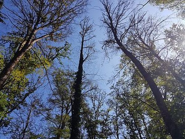
Image via Swiss Federal Institute for Forest, Snow and Landscape Research WSL