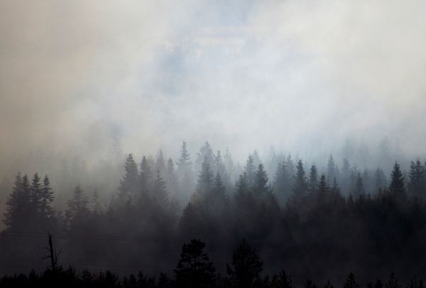
Last month, New York City and other cities along the east coast experienced some of the worst air pollution in the world. The cause? Wildfires in Canada, California, and Oregon so large they produced smoke that drifted thousands of miles. If smoke that dense can travel from one end of the U.S. to the other, imagine what it could do to your lungs.
Using satellites scientists can accurately see how far and wide wildfire smoke spreads across an area, but they have a more difficult time predicting whether the plumes are high in altitude or lower to the ground where it can gravely affect people’s health.
But a team of researchers led by University of Utah chemical engineering associate professor Heather A. Holmes has developed a method of combining a meteorological model with NASA satellite data to determine whether the wildfire smoke will stay high up or come down to the ground. That will lead to more accurate predictions of whether and when smoke from a nearby wildfire could reach people on the ground.
Read more at University of Utah
Photo Credit: BlenderTimer via Pixabay