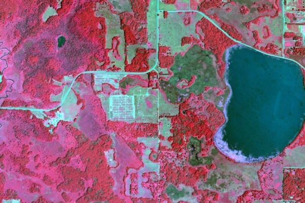
The world underground is a busy place, with everything from fat nightcrawlers to microscopic fungi forming a community of workers that break down plant material to free nutrients — processes that are vital to sustaining life on Earth. Given humanity’s hefty footprint, it’s important to identify where these processes are working well, and where they may need help. But how can we do that across vast landscapes?
A new study published in Ecological Monographs and led by University of Minnesota ecologists suggests the answer could come from above. Researchers from around the U.S., Canada, and Switzerland using remote sensing to study plant communities report that plant traits we can sense from satellites and airplanes can provide valuable insights into what’s going on beneath the soil.
“The ability to use remote sensing to predict soil processes across large spatial extents has really important implications for understanding and modeling Earth’s biogeochemical cycles, including how nitrogen moves through ecosystems and how carbon accumulates and is stored belowground,” says lead author Jeannine Cavender-Bares, Distinguished McKnight University professor of ecology, evolution and behavior in the College of Biological Sciences and director of the NSF ASCEND Biology Integration Institute.
Continue reading at University of Minnesota
Image via University of Minnesota


