In a significant milestone for Antarctic research, detailed and extensive information on ice thickness and bed topography is now available for the first time in a centralised and standardised format.
The comprehensive dataset, compiled over the last 60 years through ground-based and airborne surveys by more than 50 institutions, provides valuable information about the ice and rock that make up Antarctica and will be crucial in aiding our predictions of future ice loss and sea level rise.
Led by the Bedmap3 Action Group and supported by the Scientific Committee on Antarctic Research, Bedmap3 has significantly more data and coverage than the previous iteration, released a decade ago. 52 million new data points and 1.9 million kilometres of measurements have been added, more than doubling the amount of data available. 84 new surveys have filled in major gaps, particularly in East Antarctica – including the South Pole, and now covers glacier troughs and floating ice shelves, giving new insights into previously unsampled areas.
Read more at British Antarctic Survey
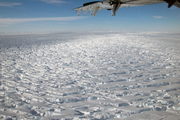
Image: A plane flies over Thwaites Glacier. (Photo credit: BAS)


