New maps of more than 1,000 deep-seated landslides in the Puget Lowlands of Washington State provide evidence of the last major earthquake along the Seattle Fault about 1,100 years ago—and may also hold traces of older earthquakes along the fault.
Clusters of landslides offer a potential record of earthquakes, if researchers can determine when the landslides occurred. The new study published in the Bulletin of the Seismological Society of America combines information about the location of these Puget Lowlands landslides along with new dates obtained from measuring the surface roughness of the landslides.
The combination of data helped Erich Herzig of the University of Washington and colleagues uncover strong evidence of the last known major Seattle Fault earthquake, thought to be a magnitude 7 to 7.5 event. (A recent study suggested that there may have even been a double earthquake at the time in the region.)
The researchers compared their new landslide map to ground motions generated by different Seattle Fault earthquake scenarios. The scenario that best matches the landslide clusters, they found, is one that produces the strongest shaking in a west to east band from west Seattle to Mercer Island and the bluffs bordering Puget Sound.
Read more at Seismological Society of America
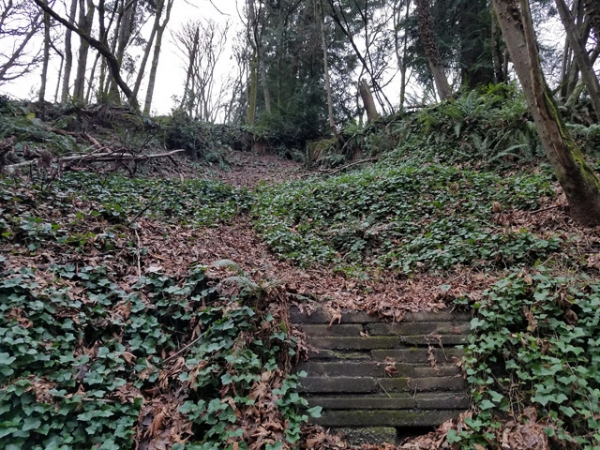
Image: Small landslide in the Puget Lowland study area. Scarp of the landslide can been seen at top of photo, as a 1-meter drop below trees. Lack of trees can indicate a landslide area. (Credit: Erich Herzig)


